Published 13:03 IST, June 13th 2019
Cyclone Vayu UPDATE: Eye may not hit but system will, says IMD, forecasting wind, rain and storm, and imploring against relaxing preparedness
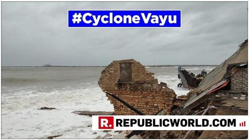
As Gujarat makes full preparations to face Cyclone Vayu, which was earlier predicted to make landfall in the state by afternoon, the course of the 'Very Severe Cyclone' has slightly changed as a result of which it may not hit the state directly, veering north-northwestwards instead.

As Gujarat makes full preparations to face Cyclone Vayu, which was earlier predicted to make landfall in the state by afternoon, the course of the 'Very Severe Cyclone' has slightly changed as a result of which it may not hit the state directly, veering north-northwestwards instead.
According to the latest Indian Meteorological Department(IMD) bulletin, the very severe cyclonic storm Vayu remained practically stationary and lay centered at 9.30 AM as of June 13 near latitude. 20.40 degree north and Longitude 69.40 degree east over northeast & adjoining east central Arabian sea about 150 km south-southwest of Diu, 110 km southwest of Veraval and 150 km nearly south of Porbandar.
The very severe cyclonic storm “Vayu” is very likely to move north-northwestwards for some time and then northwestwards skirting the Saurashtra coast affecting Gir, Somnath, Diu, Junagarh, Porbandar and Devbhoomi Dwarka with wind speeds of 135-145 km per hour gusting to 160 km per hour from the afternoon of 13 June, according to the latest forecast by IMD.
Storm surge measuring 1.5-2.0m above the astronomical tides are likely to inundate the low lying coastal areas of Devbhoomi Dwarka, Porbandar, Junagarh, Diu, and Gir Somnath districts in the afternoon
Manorama Mohanty, a scientist at India Meteorological Department (IMD), Ahmedabad, said that while the cyclone was expected to strike the coastal areas of Gujarat accompanied by heavy rain and gusty winds, it will pass nearby from Veraval, Porbandar, and Dwarka.
The IMD in Mumbai has also insisted that despite the cyclone slightly shifting its course, the state should not let its guard down and should be fully prepared and alert to meet adverse situations that can possibly arise from the impact of the cyclone.
Updated 14:03 IST, June 13th 2019


