Published 07:44 IST, November 17th 2018
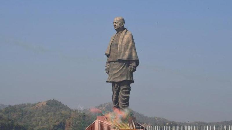
India's Statue of Unity as seen from Space
Decades ago, a lot used to be said about certain features on Earth being visible from space. The Great wall of China was perhaps the biggest beneficiary of this, except for one key fact -- it wasn't really visible from space

Decades ago, a lot used to be said about certain features on Earth being visible from space. The Great wall of China was perhaps the biggest beneficiary of this, except for one key fact -- it wasn't really visible from space, not with an unaided eye and definitely not from the moon, with NASA setting the record straight. In the age of Google Earth, it's quite clear that just about anything can be visible from space if you look hard enough, but one imagines that eyes in the sky wouldn't need to squint to see the world's new tallest statue -- India's Statue of Unity.
An image released by commercial satellite services company Planet shows that India's edifice to Sardar Vallabhbhai Patel can be seen from space and though it doesn't mention from how high up, it's probably safe to assume it's from a low-Earth orbit. The oblique image renders everything into sharp relief. The Statue, the approach, the platform it stands on, the Sardar Sarovar dam it overlooks and more.
The Statue of Unity is 182-meters tall, and almost 240-meters tall if you also add its base -- far and away the tallest statue in the world and comparable to the tallest buildings in India. In comparison, here's a similar photograph, by NASA, of what were for centuries the tallest man-made structure on Earth -- the Giza Pyramids.
(Photos taken from the International Space Station - ISS - from an altitude of about 400km)
Planet has, over the years, put out some spectacular imagery of cities, buildings, geological features, and other things captured from similar heights.
Here's Shanghai:
And here's what NASA says about the Great Wall of China (not) being visible from space in an article titled (China's Wall Less Great in View from Space):
(This photo of central Inner Mongolia, about 200 miles north of Beijing, was taken on Nov. 24, 2004, from the International Space Station. The yellow arrow points to an estimated location of 42.5N 117.4E where the wall is visible. The red arrows point to other visible sections of the wall. Credit: NASA.)
Updated 08:09 IST, November 17th 2018


