Published 16:02 IST, November 7th 2019
MEA: 'The new map has in no manner revised our boundaries with Nepal'
MEA on Thursday, responding to Nepal’s objection on the new political map stated that "The new map has in no manner revised our boundaries with Nepal."

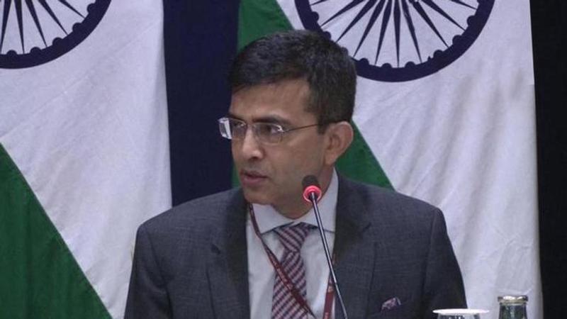
The Ministry of External Affairs spokesperson Raveesh Kumar during a press briefing on Thursday, responding to Nepal’s objection on the new political map stated that, "Our map accurately depicts the sovereign territory of India. The new map has in no manner revised our boundaries with Nepal." Earlier, Nepal had objected that the Kalapani area has been shown as part of India’s territory in the new political map, and made it clear that the area lies within the Nepalese boundary.
'Ongoing under existing mechanism'
According to the MEA, "The boundary delineation exercise with Nepal is ongoing under the existing mechanism. We reiterate our commitment to finding a solution through dialogue in the spirit of our friendly bilateral relationships." Kumar further added that "At the same time, both sides should guard against the vested interests who are out there to create some differences between the two countries."
India releases a new political map
Days after the former state of Jammu and Kashmir was officially bifurcated into two Union Territories, the Central government on November 2, issued a notification defining the newly marked boundaries. The boundaries define the Union Territories of Jammu and Kashmir and Ladakh. The notification by the Union Home Ministry includes the individual maps of the newly formed Union Territories. Notably, all the districts of Pakistan occupied Kashmir (PoK) are shown as districts of the UT of Jammu and Kashmir. In the new map, Pakistan-occupied Kashmir is part of the newly created Union Territory of Jammu and Kashmir, while Gilgit-Baltistan falls under the Union Territory of Ladakh. With the inclusion of the new Union Territories, India consists nine UTs now- Andaman and Nicobar, Chandigarh, Daman and Diu, Dadar and Nagar Haveli, Delhi, Jammu and Kashmir, Ladakh, Lakshwadeep and Puducherry.
Nepal's objection
It has been alleged that the Kalapani was a part of the Darchula district of Nepal while the Indian map places it under the Pithoragarh district in Uttarakhand. However, the Nepalese Ministry of Foreign Affairs had stated that they were trying to find out the truth.
Updated 21:14 IST, November 7th 2019


