Published 17:30 IST, June 12th 2020
Security forces clarify on labourer shot by Nepal police, term it ‘local altercation’
After the firing occurred at Indo-Nepal border in Bihar, the security forces on Friday, have clarified that the firing was a result of a local altercation.

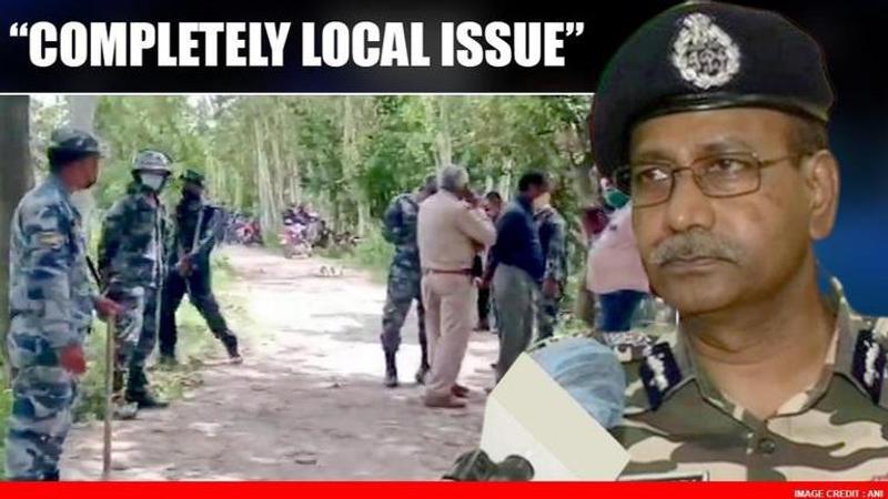
After the firing occurred at Indo-Nepal border in Bihar, the security forces on Friday, have clarified that the firing was a result of a local altercation. Speaking to ANI, SSB DG Kumar Rajesh Chandra has stated that a local issue had cropped up recently and that the SSB 51st Bn Commandant has spoken to Nepalese SP Sarlahi along with the Indian SP Sitamarhi. A case will be filed soon along with an investigation, he added stating that a report of the preliminary findings has been submitted to the Ministry of Home Affairs (MHA).
Security forces state 'local issue'on firing at Indo-Nepal border
Firing at Indo-Nepal border
Earlier in the day, a labourer was allegedly shot dead and two were injured by the Nepal border police at the International border in Sitamarahi in Bihar. According to the deceased's father, the victim was working at a farm at the border areas with Nepal and was allegedly shot 17-18 times by the Nepal border police following an altercation. The deceased father said that 5-6 workers had gone to work on the field and alleged that his son was killed after the Nepal border police fired 17-18 rounds.
Nepal incorporates Indian territories in the new map
This altercation comes three day after Nepal's House of Representatives endorsed a proposal for considering a Constitutional Amendment Bill to validate Nepal's new map - which included several Indian territories. The constitutional amendment shall have to be approved by the 2/3rd majority in both Houses of Nepal's Parliament. However, it is expected to be smooth sailing for the KP Sharma Oli-led government as the main opposition party Nepali Congress has also backed the new map.
What does Nepal's new map show?
On May 18, Nepal PM KP Sharma Oli approved Nepal's new map featuring the Indian territories of Kalapani, Lipulekh, and Limpiyadhura. As per reports, Nepal's new map has been drawn on the basis of the Sugauli Treaty of 1816 signed between Nepal and the then British Indian government and other relevant documents. Reacting to Nepal incorporating parts of Indian territory in its official map on May 20, the Ministry of External Affairs slammed this "unilateral act", post which the new amendment was junked. Later, with the backing of the Oppposition, the map has now been approved by the Lower House.
Updated 17:30 IST, June 12th 2020


