Published 19:03 IST, August 5th 2020
'China's geostrategic statement': Manish Tewari reveals design behind Pakistan's new map
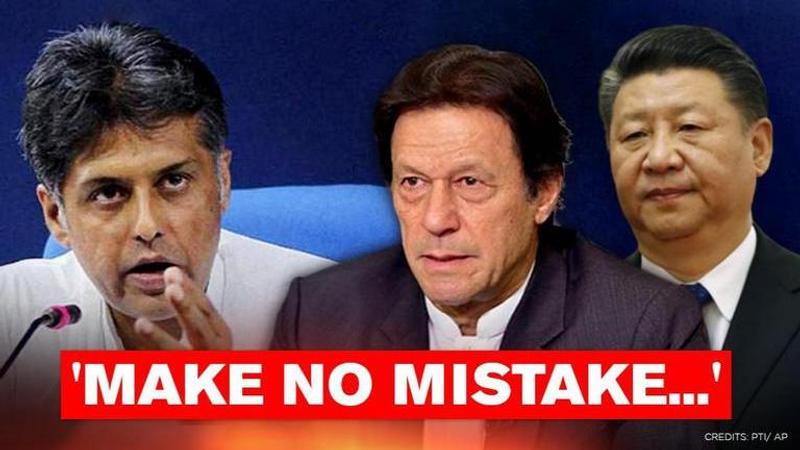
Senior Congress leader and Lok Sabha MP Manish Tewari on Wednesday, August 5, opined that Pakistan's new political map is China's geostrategic statement.

Senior Congress leader and Lok Sabha MP Manish Tewari on Wednesday opined that Pakistan's new political map is China's geostrategic statement. To buttress his point, he highlighted Nepal's recent move to incorporate Indian territories in its map. According to him, this was China's attempt to isolate India in the neighbourhood. Moreover, Tewari predicted that some other countries also might try to take such "absurd" steps at the behest of China.
Pakistan's incredulous claim
On Tuesday, Pakistan Prime Minister Imran Khan unveiled his country's new political map ahead of the first anniversary of Jammu and Kashmir's special status revocation. In a marked departure from its claim that Jammu and Kashmir is "disputed territory", this entire Union Territory along with the Union Territory of Ladakh has been incorporated in the map. Moreover, Pakistan has claimed sovereignty over Siachen by extending the Line of Control to the Karakoram Pass.
The neighbouring country also specified that its international border lies along the eastern bank of Sir Creek, which was previously shown as the western bank. However, the part of the Kashmir and Ladakh border with China was not marked and described as 'Frontier Undecided'. In another incredulous development, Pakistan incorporated parts of Gujarat such as Junagadh and Manavdar in its political map.
Reacting to Pakistan's misadventure, the Ministry of External Affairs termed it as an exercise in "political absurdity". It stated that Pakistan's ridiculous assertions had no legal validity. According to the MEA, this was proof of Pakistan's obsession with territorial aggrandizement.
Nepal Parliament clears Constitutional Amendment Bill
The Nepal government introduced a Constitutional Amendment Bill to incorporate the Indian territories of Kalapani, Lipulekh, and Limpiyadhura in its map. It was passed by the House of Representatives and the Upper House on June 13 and June 18 respectively and subsequently ratified by the Nepal President. Opposing the new map, MEA official spokesperson Anurag Srivastava stressed that the "artificial enlargement of claims" is not based on any evidence.
The MEA spokesperson added that it was violative of the current understanding between the two countries of holding talks on outstanding boundary issues. After Chinese Ambassador to Nepal Hou Yanqi met a number of key stakeholders such as Nepal PM KP Sharma Oli and Nepal President Bidhya Devi Bhandari, speculations are afoot about China's influence on Nepal's map change. This assumes significance at a juncture when India and China are involved in a prolonged faceoff at the Line of Actual Control.
Updated 19:03 IST, August 5th 2020


