Published 08:35 IST, June 11th 2020
Congress expresses concern over strained ties with Nepal after country releases new map
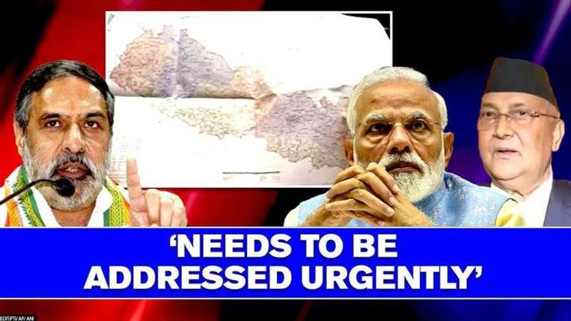
Congress leader Anand Sharma spoke about long-standing history of mutual trust, friendship between India and Nepal which has been strained by ongoing conflict

Congress has expressed concerns over the recent developments along the Indo-Nepal border after the neighbouring country brought up a new map claiming some of the bordering Indian territories as its own. Congress leader Anand Sharma on Wednesday said that the strain in Indo-Nepal relations after the dispute over Kalapani-Lipulekh areas is a matter of national concern.
Anand Sharma, who is also the Chairperson of Congress Foreign Affairs Department and a Rajya Sabha MP, spoke about the long-standing history of mutual trust and friendship between the two nations which has been strained by the ongoing conflict of interest over the border areas.
"The strong cultural ties and shared traditions between the people of India and Nepal, make the relationship unique and special. Both the countries have invested enormously in nurturing and promoting a strategic partnership recognizing and respecting each other's sensitivities," he said.
"It is regrettable that the present impasse has reached a stage, which has strained the friendly relationship. This needs to be addressed urgently," Anand Sharma added.
Giving a piece of advice to the Centre, Anand Sharma said the government should address the issue soon and take the nation into confidence and should also brief the leadership of other political parties on the same.
Nepal's new map
As per reports, Nepal's new map has been drawn on the basis of the Sugauli Treaty of 1816 signed between Nepal and the then British Indian government and other relevant documents. The row originally started when India issued a map in October 2019 incorporating Kalapani and Lipulekh on its side of the border.
In May 2020, Defence Minister Rajnath Singh inaugurated an 80-km strategically crucial road connecting the Lipulekh pass with Dharchula in Uttarakhand as a link road to Kailash Mansarovar - Nepal had raised serious objections to the inauguration of this road.
Indian envoy to Nepal Vinay Mohan Kwatra was also called by Nepal's Foreign Minister Pradeep Kumar Gyawali to raise concern over the matter. However, on the issue of road construction, the Indian government has made clear that the "recently inaugurated road section in Pithoragarh district in the State of Uttarakhand lies completely within the territory of India."
MEA statement on Nepal's map
Reacting to Nepal incorporating parts of Indian territory in its official map on May 20, the Ministry of External Affairs slammed this "unilateral act". Maintaining that this move was not based on historical facts and evidence, MEA official spokesperson Anurag Srivastava observed that this was contrary to the understanding between the two countries to resolve boundary disputes through dialogue. He made it clear that India shall not accept such an "artificial enlargement" of territory.
Updated 08:35 IST, June 11th 2020


