


Published 10:37 IST, August 2nd 2024
GPS Coordinates, Cell Phone Location Data: Here's How Rescue Ops are being Carried Out in Wayanad
GPS coordinates from aerial drone images and phones are being used to target search and rescue efforts in landslide-affected areas in Wayanad.
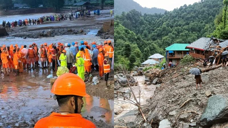
How Rescue Ops are Being Conducted in Wayanad following Landslides | Image:
X
Advertisement
10:37 IST, August 2nd 2024