Published 17:43 IST, December 12th 2024
Google Says It Uses Dash Cam Footage To Improve Google Maps
Google is currently using dash cam footage under the license agreement in the UK, but may expand to other markets based on positive feedback.

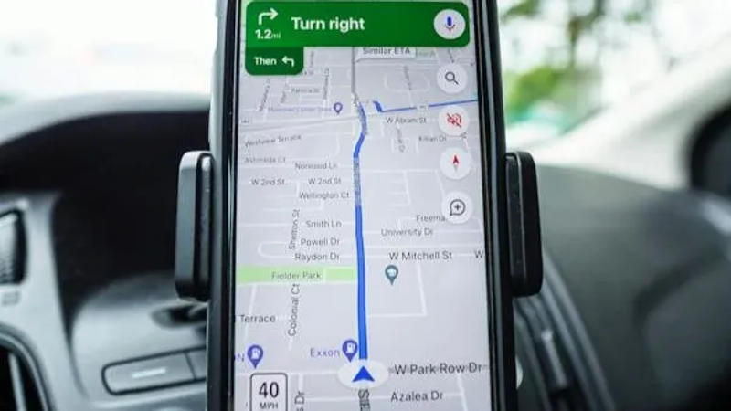
Google Maps uses multiple sources to get real-time information on roads and localities, and improve the overall experience. While Android smartphones are a major data source for Google Maps, the company has now confirmed that it also uses footage from dash cams to update road data, including speed limit signs and other necessary information that is difficult to obtain from a smartphone.
In a support page (spotted by Android Police), Google said it “licenses imagery in the form of short, silent video clips from vehicle dash cams from trusted third-party companies.” Google Maps uses these clips to update road data with new signs, including those for speed limits, and any variations, such as a dead-end, “as a first step in making road improvements.” The third-party companies that Google licenses the dash cam clips from are already using the footage “in their own everyday operations” with the “contributor consent.”
Google is currently using dash cam footage under the license agreement in the UK, according to the report. The local partners Geopost Vision and Nextbase provide Google with the imagery, per the support page. However, the company may expand the functionality outside of the UK through strategic partnerships with dash cam companies.
According to the company, its in-house AI fetches data from the shared footage and then deletes the clips. The sourced data is not published anywhere, while drivers have full control over whether they want to participate in the data-sharing agreement between their dash cam company and Google. The company also said that it requests footage only for areas where updates are needed.
“To identify map-related details such as new speed limit signs, Google uses a combination of Artificial Intelligence (AI) and help from our operations team,” said Google Maps on the support page. “We extract the info and update Google Maps before deleting the imagery.”
Updated 17:43 IST, December 12th 2024


