Published 16:54 IST, September 3rd 2020
NASA researchers use machine-learning to better predict hurricane intensity
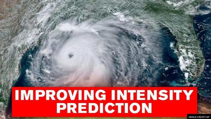
NASA scientists have used machine learning to develop an experimental computer model that promises to greatly improve accuracy of hurricane intensity detection

Advertisement
Accurately predicting whether a hurricane will undergo rapid intensification – where wind speeds increase by 35 mph (56 kph) or more within 24 hours – is incredibly difficult. But researchers led by scientists at NASA's Jet Propulsion Laboratory have used machine learning to develop an experimental computer model that promises to greatly improve the accuracy of detecting rapid-intensification events.detec
Eyeing the inner workings
There are two parts to a hurricane forecast: its track and its intensity. Scientists and forecasters have gotten very good at predicting where a hurricane will make landfall. But forecasting its strength still gives them trouble because it depends on the surrounding environment as well as what's happening inside these storms. Properties such as how hard it's raining or how quickly the air is moving vertically are challenging to measure inside a hurricane.
It's also difficult to determine which internal characteristics result in the rapid intensification of these storms. But after sifting through years of satellite data, researchers found that a good indicator of how a hurricane's strength will change over the next 24 hours is the rainfall rate inside the storm's inner core – the area within a 62-mile (100-kilometer) radius of the eyewall, or the dense wall of thunderstorms surrounding the eye. The harder it's raining inside a hurricane, the more likely the storm is to intensify. The team gathered this rainfall data from the Tropical Rainfall Measuring Mission, a joint satellite project between NASA and the Japanese Aerospace Exploration Agency that operated from 1997 to 2015.
In addition, the researchers found that changes in storm intensity depended on the ice water content of clouds within a hurricane – measurements they gathered from NASA's CloudSat observations. The temperature of the air flowing away from the eye at the top of hurricanes, known as outflow temperature, also factored into intensity changes. Researchers obtained outflow temperature measurements from NASA's Microwave Limb Sounder (MLS) on the Aura satellite as well as from other datasets.
(Part of NASA's fleet of weather- and climate-tracking satellites, CloudSat uses advanced radar to examine the inner structure of clouds, helping researchers better understand how severe tropical cyclones, as well as climate changes related to clouds, occur. IMAGE: NASA)
Using computational algorithm capabilities
The team added the rainfall rate, ice water content, and outflow-temperature predictors to the ones the US National Hurricane Center already uses in its operational model to come up with their own predictions via machine learning. There are so many variables inside a hurricane, and they interact in such complex ways, that many current computer models have trouble accurately depicting the inner workings of these storms.
Machine learning, however, is better able to analyze these complex internal dynamics and identify which properties could drive a sudden jump in hurricane intensity. The researchers used the computational algorithm capabilities of the IBM Watson Studio to develop their machine learning model.
Then they trained their model on storms from 1998 to 2008 and tested it using a different set of storms, from 2009 to 2014. Researchers also compared the performance of their model with the Center's operational forecast model for the same storms from 2009 to 2014.
For hurricanes whose winds increased by at least 35 mph (56 kph) within 24 hours, the researchers' model had a 60% higher probability of detecting the rapid-intensification event compared to the current operational forecast model. But for those hurricanes with winds that jumped by at least 40 mph (64 kph) within 24 hours, the new model outperformed the operational one at detecting these events by 200%.
Researchers are now testing their model on storms during the current hurricane season in the US to gauge its performance. In the future, they plan to sift through satellite data to find additional hurricane characteristics that could improve their machine learning model. Predictors such as whether it's raining harder in one part of a hurricane versus another could give scientists a better look at how the storm's intensity might change over time.
"It's an important forecast to get right because of the potential for harm to people and property," said Hui Su, an atmospheric scientist at theJPL part of the research team.
16:54 IST, September 3rd 2020


