Published 05:47 IST, August 15th 2022
China seizes thousands of maps over missing nine-dash line claiming 90% of South China Sea
Beijing has cracked down on problematic maps that it deems to endanger sovereignty, national reunification, territorial integrity for several years.

China's customs officials in the eastern Zhejiang province have seized thousands of maps that were bound for export as they did not portray the national borders of Beijing correctly in the South China Sea. The maps did not show the Chinese self-pronounced territorial claims of the nine-dash line in the South China and East China seas. It is to be noted that China lays sovereign maritime claims on 90% of the South China Sea based on the U-shaped nine-dash line that was demarcated on the map in the 1940s by a Chinese geographer. The neighbouring island nations in the South China Sea, although, contest what they describe as the “illegal Chinese nine-dash line."
'No legal basis for China to draw straight baselines': UN
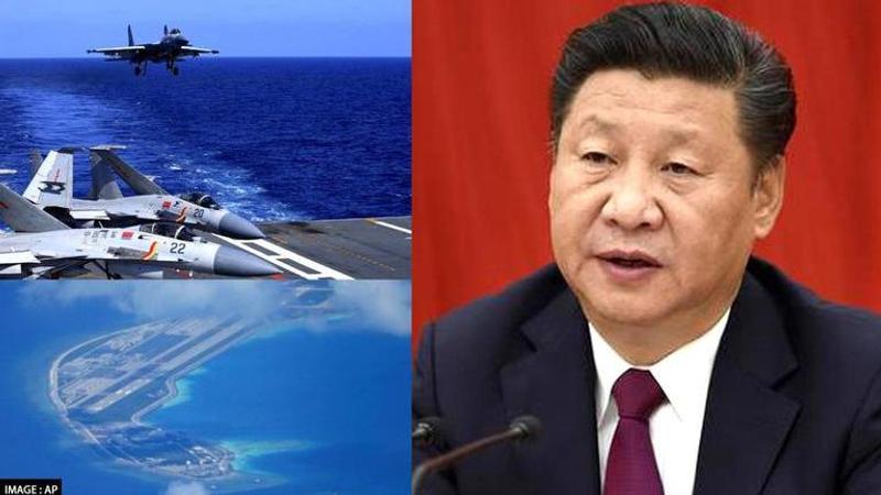
United Nations has declared that there is “no legal basis for China to draw straight baselines connecting the outermost points of maritime features or ‘island groups’ in the South China Sea”. And yet, Beijing asserts its maritime expansionist agendas in the South China Sea by the display of its military might and by exercising belligerence against the smaller island countries such as Vietnam, the Philippines, Brunei, Malaysia and self-administered island nation Taiwan which it considers part of PRC.
As maps that did not show PRC's nine dash line accurately were packed to be exported to the international market, Ningbo city customs authorities seized as many as two batches of these so-called “problematic maps." There were an estimated 23,500 in all. Authorities raised objections that these geographical maps did not show the nine-dash line covering Beijing’s vast claims, correctly. China's territory, after it unilaterally changed the status quo, extends as far as 2,000km (1,200 miles) from the Chinese mainland. The confiscated maps also did not project the disputed Spratlys and the Paracels in the South China Sea as Beijing's territory. It also left out the uninhabited East China Sea islands called the Diaoyus – claimed by Japan as the Senkaku.
"Beijing has cracked down on problematic maps”that it deems to endanger sovereignty, national reunification, territorial integrity, national security and interests for several years," South China Morning Post reported.
"Omitting disputed territories and the nine-dash line are typical characteristics of problematic maps, according to China’s natural resources ministry, the state map regulator," it added.
Updated 05:47 IST, August 15th 2022


