Published 23:00 IST, June 9th 2020
Nepal lower house MPs unanimously endorse new map constitution amendment bill
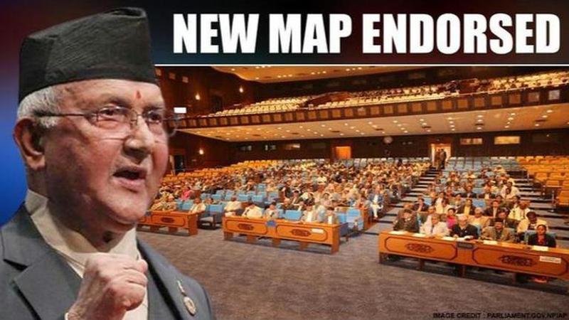
Nepal House of Representatives has unanimously approved a Constitution Amendment Bill to change the country’s political map which includes Kalapani, Lipu Lekh

The Nepal House of Representatives on Tuesday unanimously approved a Constitution Amendment Bill to change the country’s political map which includes Kalapani, Lipu Lekh and Limpiyadhura — territories it contests with India. Apart from the ruling Communist Party, the main opposition party Nepali Congress and Madhes-based parties also backed the proposal to consider the constitution amendment bill.
According to media reports, the Nepal government's bid to bring amendment in the country's political map in the national emblem now has officially moved forward after the endorsement of the lower house. The MPs will now get 72 hours' time to bring amendments, if any, within that the amendment bill endorsed by the House.
The unanimous endorsement of the lower house will now pave way for the government to expedite the process to replace the new political map in Nepal's national emblem and in the coat of arms. It requires a two-thirds majority vote in parliament to endorse any constitution amendment bill.
Ministers react
Following the development, local media reported law minister Shivamaya Tumbahangphe expressing happiness that all political parties had stood united on the issue of the country's territorial integrity. She also announced that Nepal will "get back the territories encroached by India" and govern those territories belonging to Nepal.
In his address to the house, Nepal Foreign Minister Pradeep Gyawali stated that the government would like to 'diplomatically' resolve border row with India. In his introductory address to the Lower House of the Nepalese Parliament, Gyawali said, "We are the land of Buddha, and should maintain peace while talking about the border row with India."
The Foreign Minister also highlighted that Nepal is seeking to hold discussions with its neighbouring country and that there is 'no other option' than that. Furthermore, he stated, "Nepal border begins at the Limpiyadhura origin of river Kali. Our border is determined by Sugauli treaty. India has acknowledged Kalapani and Susta borders as unresolved in 1997."
Nepal's new map
As per reports, Nepal's new map has been drawn on the basis of the Sugauli Treaty of 1816 signed between Nepal and the then British Indian government and other relevant documents. The row originally started when India issued a map in October 2019 incorporating Kalapani and Lipulekh on its side of the border. In May 2020, Defence Minister Rajnath Singh inaugurated an 80-km strategically crucial road connecting the Lipulekh pass with Dharchula in Uttarakhand as a link road to Kailash Mansarovar - Nepal had raised serious objections to the inauguration of this road.
Reacting to Nepal incorporating parts of Indian territory in its official map on May 20, the Ministry of External Affairs slammed this "unilateral act". Maintaining that this move was not based on historical facts and evidence, MEA official spokesperson Anurag Srivastava observed that this was contrary to the understanding between the two countries to resolve boundary disputes through dialogue. He made it clear that India shall not accept such an "artificial enlargement" of territory.
Updated 23:00 IST, June 9th 2020


