Published 20:44 IST, August 1st 2020
Nepal to send India its 'updated map' with Kalapani, Lipulekh, Limpiyadhura
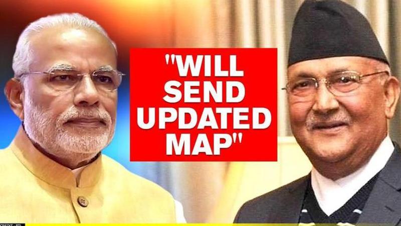
Moving forward in its claim over three Indian territories, Nepal on Saturday, plans to send its updated map to India, the United Nations, Google, and others

Moving forward in its claim over three Indian territories, Nepal on Saturday, plans to send its updated map to India, the United Nations, Google, and international communities by mid-August, said Nepal's Minister for Land Management, Padma Aryal. Nepal's parliament has recently passed the constitutional amendment to include Kalapani, Lipulekh, and Limpiyadhura - three Indian territories in Nepal's official Map. The updated map has now been accommodated in the national emblem.
Nepal to send new maps
Nepal terms 1947 Gurkha agreement 'redundant'
This move comes a day after Nepalese Foreign Minister Pradeep Kumar Gyawali claimed that the 1947 agreement on Gurkha soldiers is a ‘legacy of the past’ and must be revised. Gyawali claimed that the agreement with United Kingdom and India has become ‘redundant’ and certain provisions in the agreement are ‘questionable’ in the present context. Nepal, which is already going through an internal political upheaval, has recently lashed out at India over Coronavirus, border issues and even claimed Lord Ram's origin in Nepal.
Nepal Parliament passes map amendment
On June 18, Nepal's upper house of Parliament unanimously voted to amend the Constitution to update the country's new political map, with all 57 members of the National Assembly voting in its favour. Previously on June 13, Nepal's lower house passed the bill with all 258 members who were present, voting in its favour. The three territories claimed by Nepal include Gunji, Kuti, and Nabi villages - which are a part of Uttarakhand. India has termed it Nepal's claims as 'untenable' and 'artificially enlarged'.
Nepal incorporates Indian territories in the new map
On May 18, Nepal PM KP Sharma Oli approved Nepal's new map featuring the Indian territories of Kalapani, Lipulekh, and Limpiyadhura. As per reports, Nepal's new map has been drawn on the basis of the Sugauli Treaty of 1816 signed between Nepal and the then British Indian government and other relevant documents. In May 2020, Defence Minister Rajnath Singh inaugurated an 80-km strategically crucial road connecting the Lipulekh pass with Dharchula in Uttarakhand as a link road to Kailash Mansarovar - Nepal had raised serious objections to the inauguration of this road.
Updated 20:46 IST, August 1st 2020


