Published 13:39 IST, June 26th 2020
Sahara Desert dust plume raises health concerns amid increasing COVID-19 cases in US
Sahara Desert dust plume is expected to hover over the US Southeast this weekend and raise more health concerns in states with worsening COVID-19 situation.

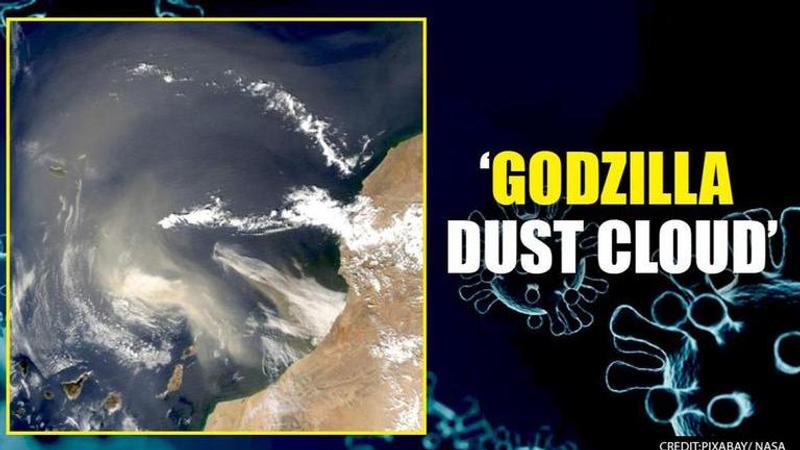
A massive plume of dust, dubbed as the ‘Godzilla dust cloud’, is expected to hover over the US Southeast this weekend and is raising more health concerns in states where the coronavirus is worsening. According to the National Weather Service, the cloud travelled from Sahara Desert, North Africa, before reaching the region stretching from Florida west into Texas and north into North Carolina through Arkansas.
The NSW meteorologist Patrick Blood reportedly said that the storm is a really dry layer of air that contains very fine duct particulates. He added that some of the plumes contain more particles and right now the authorities are expecting a very large plume of dust in the Gulf Coast. Patrick further said that this year, the dust is also the densest it has been in a half a century.
The dust plume is expected to hang over the US Southeast until the middle of next week. The storm will also deteriorate the air quality in Texas, Florida and other states where the number of COVID-19 cases is surging. While speaking to an international media outlet, Gregory Wellenius, a professor of environmental health at Boston University's School of Public Health, said that there is emerging evidence of potential interactions between air pollution and the risk of the deadly virus.
Wellenius reportedly said that the authorities are concerned as the air pollution can be detrimental for people who are at risk for or suffer from cardiovascular and respiratory illness. Another effect of the dust plume would be allergies. These micro dust particles floating thousands of feet in the air can sometimes rile up dust allergies or cause breathing problems for people who are sensitive to it.
Fewer hurricanes expected
Meanwhile, as the forecast models have suggested that this swath of dust also known as the Saharan Air Layer (SAL) will be carried by the east-to-west Trade Winds, the main differences that one would notice with the incoming Sahara plume is an obvious change in the colour of the skies. The skies, typically blue would turn yellowish and hazy with tiny dust particles floating closer to the surface, still thousands of feet up the air. These dust particles act as filters through which the sun's rays get partially scattered leading to a beautiful hue and stunning visuals at dusk and dawn.
An advantage on the other hand when it comes to this dust plume would be that the dry Sahara air would cause fewer hurricanes over the next few days since hurricanes survive on hot and humid weather, and can seldom survive on dry weather.
Updated 13:39 IST, June 26th 2020


